Parts of western and southern Wisconsin are cleaning up after record-breaking severe weather over the weekend. The most powerful tornado to hit Wisconsin in more than a decade touched down Saturday, and the heaviest rains in a 24-hour period reported in La Crosse since 1884 happened Saturday into Sunday.
Multiple rounds of severe thunderstorms passed through much of the southern half of the state Saturday afternoon and into Sunday.
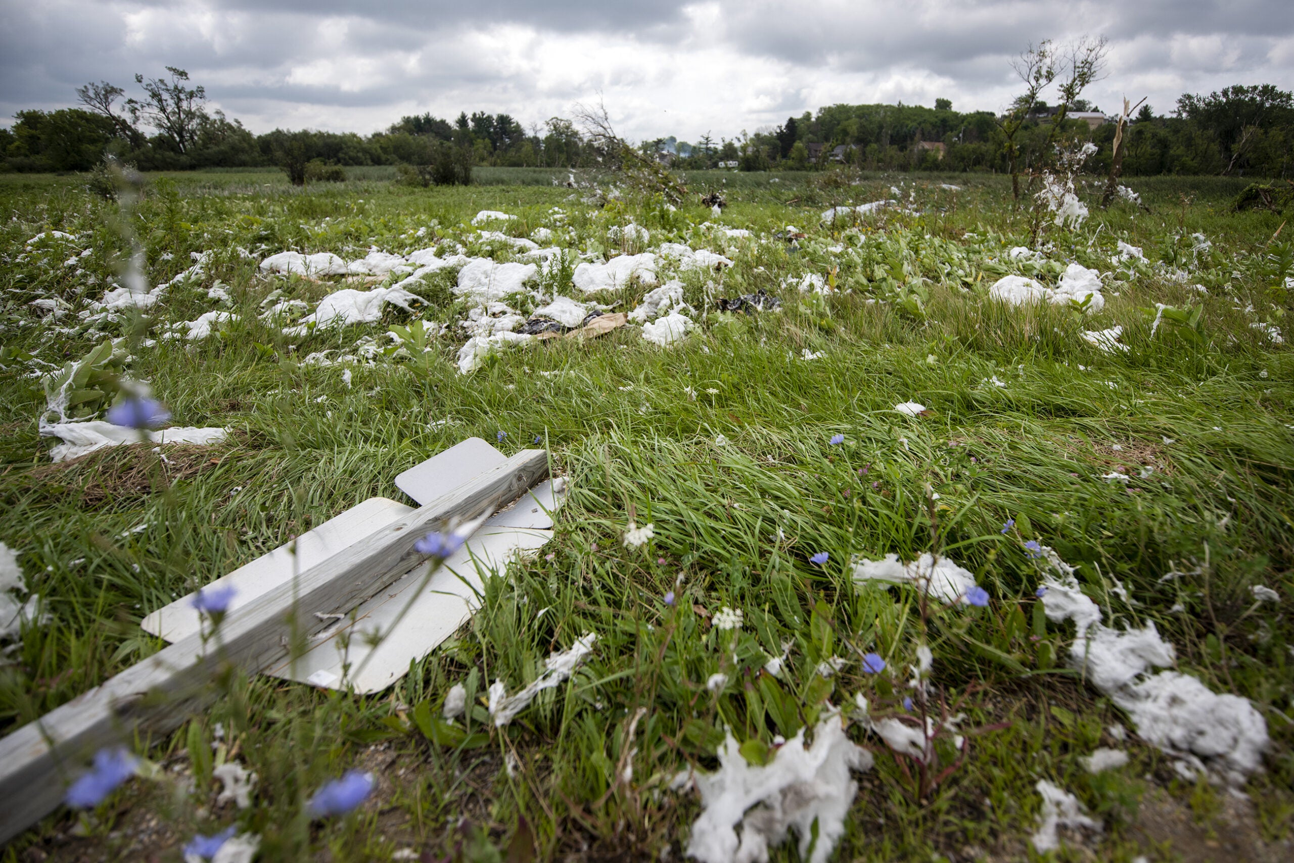
An EF-3 tornado touched down at around 4:30 p.m. Saturday near the city of Boscobel in Grant County, according to the National Weather Service office in La Crosse. Wind speeds are estimated to have hit 160 miles per hour, and the tornado stayed on the ground for 10.5 miles, according to a preliminary assessment. It’s the strongest tornado in Wisconsin since 2008, according to the weather service, and the most severe tornado in Grant County since 1985.
Stay informed on the latest news
Sign up for WPR’s email newsletter.
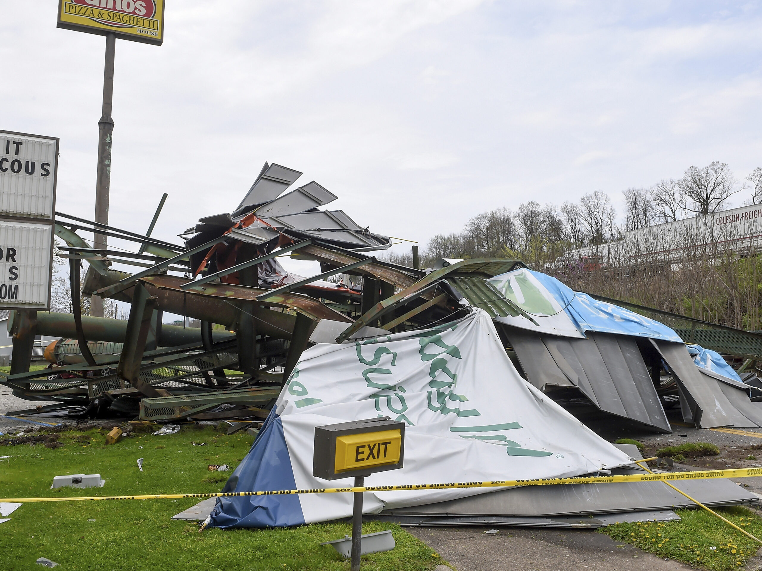
Six homes were destroyed by the tornado and 11 barns, sheds and silos were also destroyed, according to a Grant County Emergency Management Facebook post. No injuries were reported.
Boscobel Mayor Steve Wetter said sirens went off twice and “you could tell something was going on up there.” He said clouds were moving in multiple directions at first but soon began rotating.
Wetter said his home wasn’t damaged. He suspects the tornado was still forming as it passed over his backyard.
“I have a bird bath in the back of my house, and it’s a big one,” said Wetter. “It holds probably 50 gallons of water, and it sucked the water right straight up in the air. I watched it, and it sucked that thing dry.”
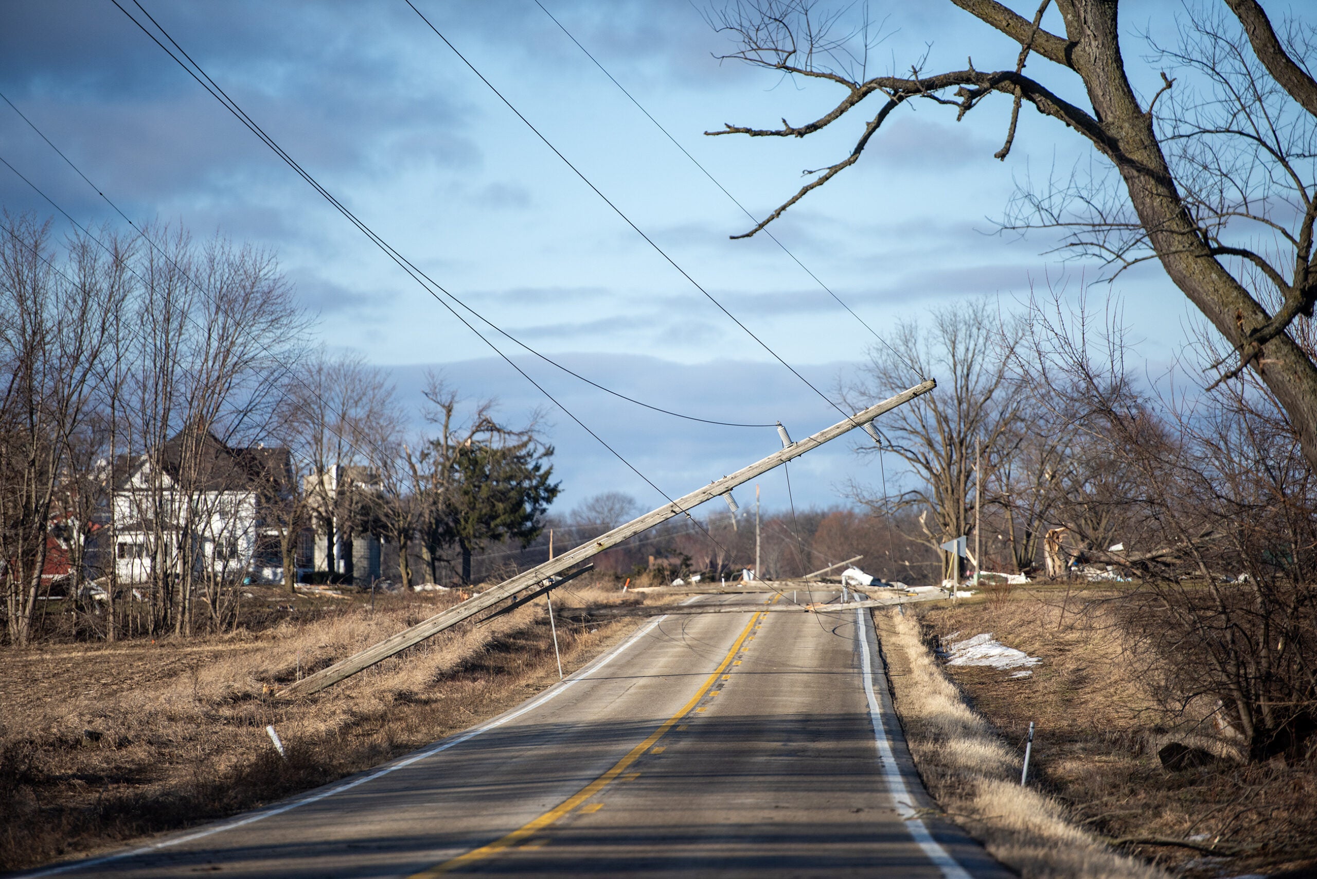
Wetter said the bulk of the damage within the Boscobel city limits was downed trees and power lines.
“So, we’ve got a lot of groups in town today; volunteer workers, different groups from different organizations,” Wetter said Monday. “There’s chainsaws running all over town.”
A weaker tornado hit Iowa County’s Village of Highland. The National Weather Service reported it was an EF-1 tornado with estimated winds of up to 90 miles per hour. It stayed on the ground for nearly 8 miles. Some barns were damaged and trees were down as a result. No injuries were reported, according to the weather service.
Further north also saw heavy rain.
The La Crosse area saw rain totals of between 3 and 7 inches, which caused significant flash flooding in urban areas, said Jeff Boyne, a meteorologist with the weather service office in La Crosse.
“Whenever you start getting really over an inch per hour, most municipalities can only take that much for their storm sewers,” said Boyne. “And when you start getting rainfall rates of 2 to 3 inches per hour, you can have flash flooding regardless (of) where you are.”
Pictures of flooding posted on social media showed knee-high water in parts of Eau Claire and La Crosse. Some people took to the streets in kayaks as the water slowly receded.
Boyne said the La Crosse airport reported 5.59 inches of rain over a 24-hour period, which broke a record of 5.55 inches set in September 1884.
Street #flooding and stranded cars near downtown La Crosse from the 3-6 inches of rain that fell this afternoon. #wiwx pic.twitter.com/V4vKqtYL8r
— NWS La Crosse (@NWSLaCrosse) August 7, 2021
Vernon County Emergency Management Director Brandon Larson said some low-lying roads near the Kickapoo River were still underwater as of Monday morning. Larson said some county roads were impacted by minor mud and rock slides.
“There were a few townships that were hit harder than others that have had quite a bit of damage,” said Larson. “Some bridge approaches are washed out and there’s a few of those on some of our county roads.”
The National Weather Service warns more severe weather could be on the way for parts of east-central and southeastern Wisconsin. Boyne said there’s a slight risk for severe weather in southern parts of Milwaukee Monday afternoon. He said threats associated with that system include potential wind and hail damage.
Wisconsin Public Radio, © Copyright 2024, Board of Regents of the University of Wisconsin System and Wisconsin Educational Communications Board.